V I S I O N F U E L P R E S E N T S
THE AERIAL ARTS
CAPTURING YOUR AERIAL CONTENT. DELIVERING YOUR DATA IN STELLAR QUALITY.
AERIAL SERVICES POLICY
All of our aerial services (flight missions) are licensed & insured by a commercial business (us). All flight missions are conducted by a licensed (FAA Part 107 Certified) Remote Pilot. Satisfaction guaranteed. Re-shoots are conducted if necessary.

FLIGHT MISSION REELS
Coming soon, are our Flight Mission Reels below. The first reel will be edited in a trailer-style montage of various industries captured with a drone. A cinematic promo. The second reel will be a super short drone film. It will be edited like a scene from a movie to include various aerial shots, edited cinematically with sound design, transitions, scoring and color grading. Stay tuned.
COMING SOON
Our Single-Service Flight Packages are below. Click “Book a Mission” to select a package or inquire about long-term servicing.
ECONOMY
Basic package
- Photos (edited images)
- Footage (edited clips)
- Post-Processing
✓ Basic Aerial Data
Exported clips to contain: “call outs” (motion graphics/visual representation of aerial data on clips). Clips are also trimmed, and color corrected for quick and easy viewing.
$1,000
MOST
POPULAR
PREMIUM
Standard package
- Photos (edited images)
- Footage (edited clips)
- Post-Processing
✓ Enhanced Aerial Data
Exported clips to contain “call outs” (motion graphics/visual representation of aerial data on clips). More data given than the Economy package. Clips are also trimmed, and color corrected for quick and easy viewing.
✓ Drone Video
1 fully edited drone video; edited to music, with color grading, graphic FX, transitions, as an informational or cinematic edit, and with a run-time up to 3 minutes.
$1,500
FIRST CLASS
Deluxe package
- Photos (edited images)
- Footage (edited clips)
- Post-Processing
✓ Advanced Aerial Data
Exported clips to contain: “call outs” (motion graphics/visual representation of aerial data on clips). The most data given out of other packages. Clips are also trimmed, and color corrected for quick and easy viewing.
✓ Drone Video
1 fully edited drone video; edited to music, with color grading, graphic FX, transitions, as an informational or cinematic edit, and with a run-time up to 3 minutes.
✓ Photogrammetry
(Drone Mapping/Surveying) - An orthomosaic map (3D rendering) of the flight mission. This includes the most robust and advanced data of a flight mission and it’s subject available.
$2,000
Capture a new perspective
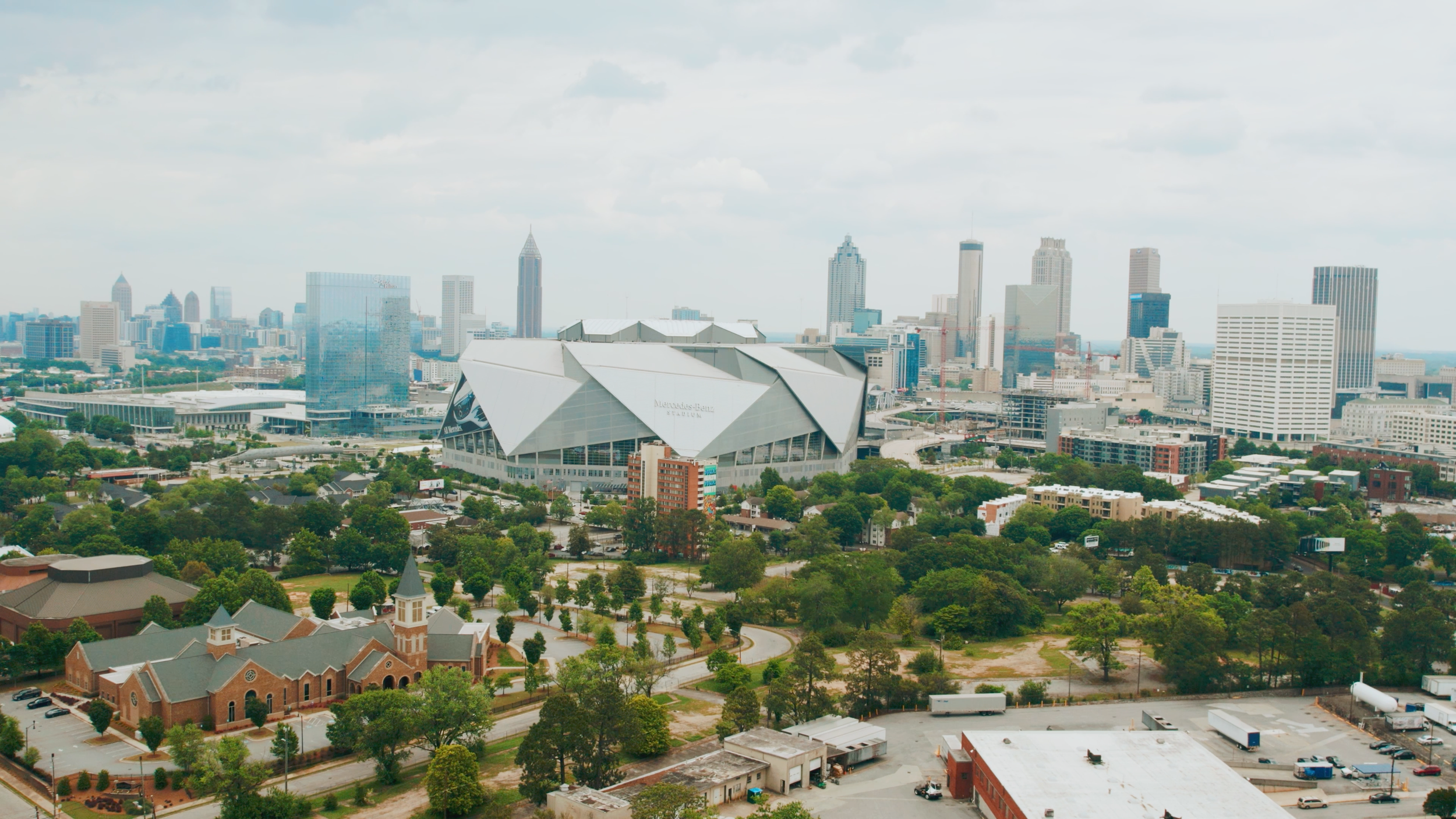
Cinematography from the skies. We capture your images using our drone technology.

Take a look at our Mission Portfolio below. You will see flight missions from various industries that we’ve completed. This gives you a glimpse at our work, our unique aerial perspective as remote pilots, and our editing skills. Check us out:
FLIGHT MISSION PORTFOLIO
Construction
Agriculture
Real Estate
Education
Capturing views from above with piloting mastery.
IMMERSE INTO A NEW VANTAGE POINT.
We use drones as an extension of our “vision.” Modern technology allows us to see multi-dimensional perspectives, capture them with skill and precision, and edit the content with artistic mastery. Whether it’s capturing your event or monitoring new construction, we’re ready to pilot. Let’s take flight. ✈

